- Duration: 3 days
- Level: Initiation
- Teaching methods: Individual, on site
- Prerequisite: Computer science basics
- Provision of the software: yes
- Location: Paris, Lyon, La Rochelle, Geneva (individual) or within your country / company
- Accessibility: arx iT is committed to facilitating access to its training courses for people with disabilities, and to implementing the necessary educational, material and organizational adaptations.
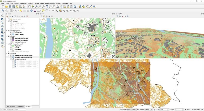
This QGIS training session is intended for anyone with basic computer skills who wishes to manipulate, organise and represent cartographic data and indicators from external databases (Dbase...).
At the end of this training session, trainees will be able to:
- Understand basics of the geographical information
- Manage GIS data using QGIS
- Display GIS data on maps
- Organize vector and raster data in QGIS
- Integrate external data using joins
- Realize graphic selections and attribute selections using SQL query
- Set thematic analysis with unique values, per range of values, per proportional symbols...
- Realize layout using QGIS print composer
- Learn to create and modify vector data, respect topology
- Perform geoprocessing (clip, intersection, union...)
- Work with Raster data and Digital Elevation Model (DEM) to extract contour lines, create Slope Models, Hillshade, terrain profile...