- Duration: 1,5 day
- Level: Initiation
- Teaching methods: Face-to-face, Remote
- Prerequisite: Know how to use PostgreSQL and be proficient in SQL
- Provision of the software: yes
- Location: Paris, Lyon, La Rochelle, Geneva (individual) or within your country / company
- Accessibility: arx iT is committed to facilitating access to its training courses for people with disabilities, and to implementing the necessary educational, material and organizational adaptations.
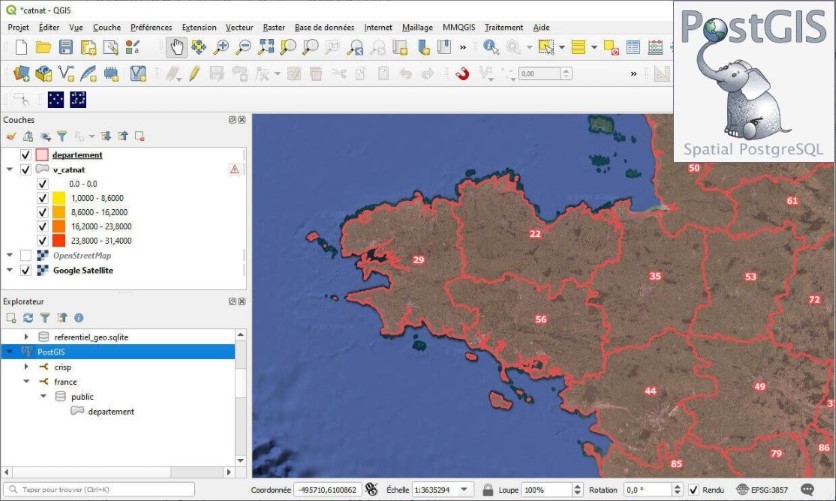
PostGIS is an extension for PostgreSQL that provides a set of geometry-related features. Free and open source, this extension is widely used in the GIS world. Mastering this tool has become essential for storing spatial data efficiently.
At the end of this course, trainees will be able to:
- Installing and manage PostgreSQL and PostGIS ;
- Build a spatial data model ;
- Query and analyze spatial data in depth ;
- Process and correct geometries ;
- Optimize the performance of a spatial database.