- Duration: 0.5 day
- Level: Initiation
- Teaching methods: Face-to-face, Remote
- Prerequisites: Basic computer skills and basic GIS knowledge
- Software provided: Yes
- Location: Paris, Lyon, La Rochelle, Geneva (individual),or within your country / company
- Accessibility: arx iT is committed to facilitating access to its training courses for people with disabilities, and to implementing the necessary educational, material and organizational adaptations.
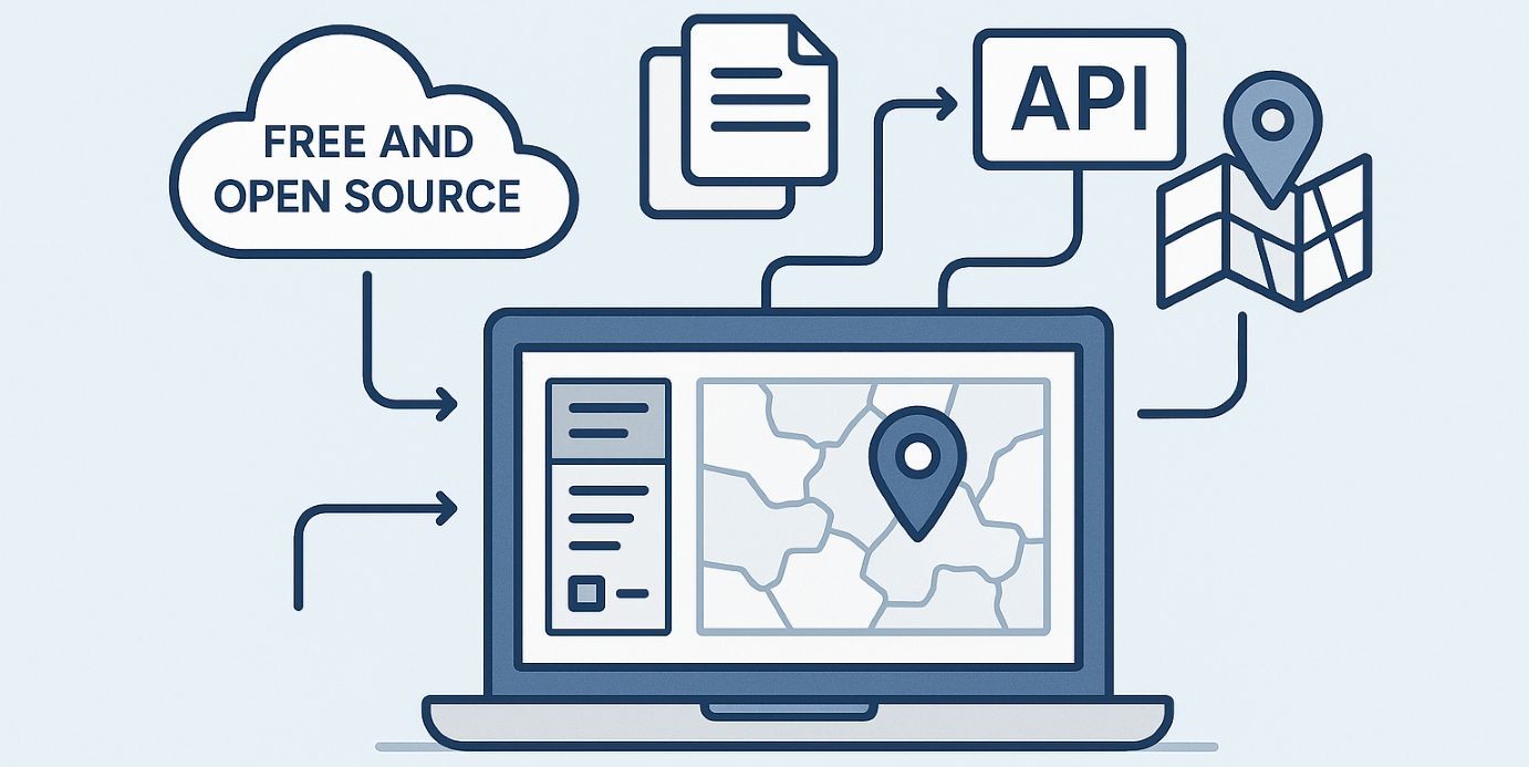
This Using Open Source Data training session is intended for participants with basic GIS knowledge who wish to work with spatial data using a widely adopted free and Open Source program.
At the end of the course, participants will be able to:
- Understand what Open Source means
- Have an overview of the available data providers
- Retrieve and use Open Source data
- Learn how to use an API
